Navigation
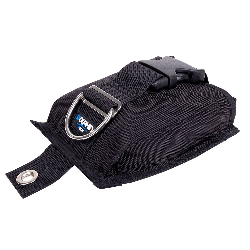
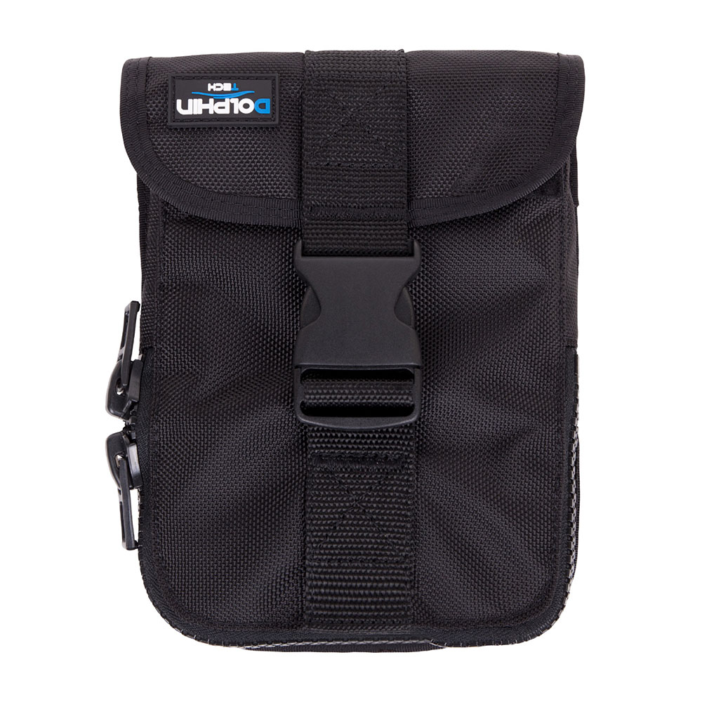
Weight Pockets
Fine tune your BCD weighting system with these weight pocket options from The Scuba Doctor.
Tech Tip: Get the Lead Out!
Adding weight is rarely the solution to a trim problem. In many cases, just removing excess weight from the waist belt will reduce the size of the compensating gas bubble and is often a better approach to adjusting trim. However, sometimes the amount of weight is correct but it needs to be redistributed to correct a trim problem, particularly if aluminium cylinders or drysuits are involved. Proceed cautiously and try to remove weight somewhere else when adding a trim weight because in many cases the diver already has too much weight and adding weight, even trim weight, just makes the problem worse. For help as to how to figure out how much lead you need, please see The Scuba Doctor's Perfect Scuba Diving Weighting guide.
Hanging Gardens
![]() Reef Dive |
Reef Dive | ![]() Boat access
Boat access
![]()
![]()
![]()
![]()
![]()
![]()
Depth: 20 m (66 ft) to 60 m (197 ft)
Level: Advanced Open Water and beyond.
The Hanging Gardens dive site can be found on the southern side of Nepean Wall near The Rip, just outside The Heads of Port Phillip on the Point Nepean side. The site features ledges forming a wall starting around 20 metres and going down to 60 metres. The reef ledges are covered in kelp that hangs over them, hence the name Hanging Gardens.
Bass Strait Warning: Always keep an eye on sea conditions throughout any shore or boat dive in Bass Strait on Victoria's coastline. Please read the warnings on the web page diving-in-bass-strait before diving or snorkelling this site.
Port Phillip Heads Marine National Park
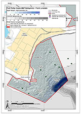
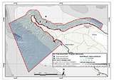
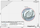
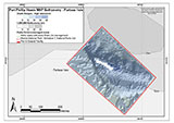
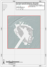
This site lies in the Port Phillip Heads Marine National Park. The park is made up of six separate marine areas around the southern end of Port Phillip: Swan Bay, Mud Islands, Point Lonsdale, Point Nepean, Popes Eye, and Portsea Hole.
Thirty-one of the 120 shipwrecks known to have occurred within a 10 nautical mile radius of Port Phillip Heads are thought to be within the Port Phillip Heads Marine National Park in Point Lonsdale and Point Nepean.
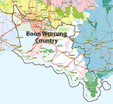
Aboriginal tradition indicates that the Bellarine Peninsula side of the Port Phillip Heads Marine National Park is part of Country of the Wathaurung people, and the Mornington Peninsula side, including Mud Islands, is part of Country of the Boon Wurrung people.
See also, Parks Victoria: Port Phillip Heads Marine National Park,
Park Note: Port Phillip Heads Marine National Park,
Port Phillip Heads Marine National Park - Map,
Divers Guide - Port Phillip Heads Marine National Park,
Port Phillip Heads Marine National Park Identification Booklet, and
Taxonomic Toolkit for the Marine Life of Port Phillip Bay.
You are not permitted to carry a spear gun while snorkelling or scuba diving in Port Phillip Heads Marine National Park.
Finding the Hanging Gardens
Over the years we've been provided with different GPS marks for the Hanging Gardens. The GPS marks we know of in circulation for the Hanging Gardens are:
- Dive Victoria
Latitude: 38° 18.263′ S (38.30438° S / 38° 18′ 15.77″ S)
Longitude: 144° 38.416′ E (144.64027° E / 144° 38′ 24.97″ E) - Geoff Rodda:
Latitude: 38° 18.146′ S (38.302433333333° S / 38° 18′ 8.76″ S)
Longitude: 144° 38.413′ E (144.64021666667° E / 144° 38′ 24.78″ E)
217 m, bearing 358°, N
Traditional Owners — This dive site is in the traditional Country of the Boon Wurrung / Bunurong people of the Kulin Nation. This truly ancient Country includes parts of Port Phillip, from the Werribee River in the north-west, down to Wilson's Promontory in the south-east, including the Mornington Peninsula, French Island and Phillip Island, plus Western Port. We wish to acknowledge the Boon Wurrung as Traditional Owners. We pay respect to their Ancestors and their Elders, past, present and emerging. We acknowledge Bunjil the Creator Spirit of this beautiful land, who travels as an eagle, and Waarn, who protects the waterways and travels as a crow, and thank them for continuing to watch over this Country today and beyond.
Hanging Gardens Location Map
Latitude: 38° 18.263′ S (38.30438° S / 38° 18′ 15.77″ S)
Longitude: 144° 38.416′ E (144.64027° E / 144° 38′ 24.97″ E)
Datum: WGS84 |
Google Map
Added: 2021-03-28 15:07:13 GMT, Last updated: 2022-04-06 21:29:14 GMT
Source: Dive Victoria
Nearest Neighbour: Inner Corsair Wall, 268 m, bearing 336°, NNW
The Heads, Port Phillip.
Depth: 20 to 60 m.
[ Top ]
DISCLAIMER: No claim is made by The Scuba Doctor as to the accuracy of the dive site coordinates listed here. Should anyone decide to use these GPS marks to locate and dive on a site, they do so entirely at their own risk. Always verify against other sources.
The marks come from numerous sources including commercial operators, independent dive clubs, reference works, and active divers. Some are known to be accurate, while others may not be. Some GPS marks may even have come from maps using the AGD66 datum, and thus may need be converted to the WGS84 datum. To distinguish between the possible accuracy of the dive site marks, we've tried to give each mark a source of GPS, Google Earth, or unknown.



![Halcyon Infinity 30lb System [SS Small Backplate] Halcyon Infinity 30lb System [SS Small Backplate]](/diveshop/images/halcyon/Halcyon-Evolve-Wing.jpg)

