Navigation
Weight Belts / Harnesses
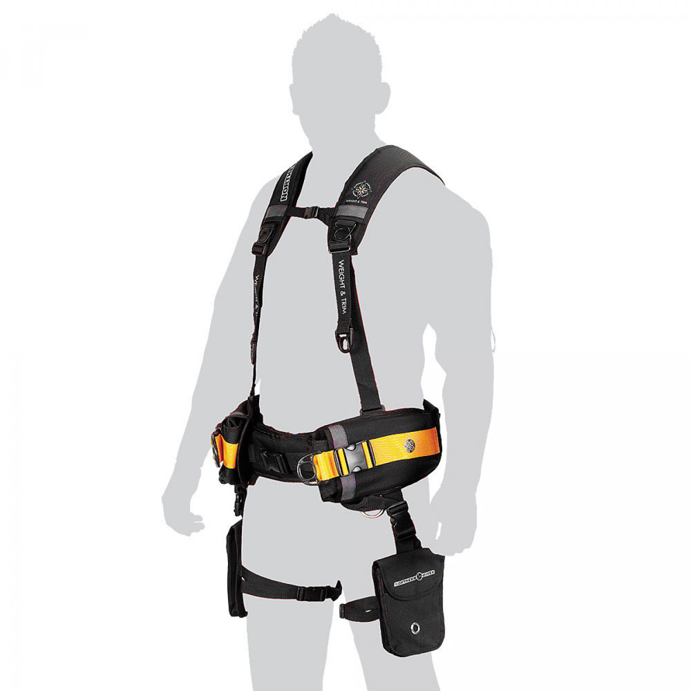
A secure Weight Belt or Weight Harness is a crucial safety item for any diver. It has to be able to be released instantly in any emergency, allowing you to drop your weights. But it also must but be locked enough not to come loose during your normal diving activities.
For scuba diving we like pocketed weight belt solutions like the Apollo Comfo Pocket Weight Belt, They are typically used in combination with a BCD integrated weight system.
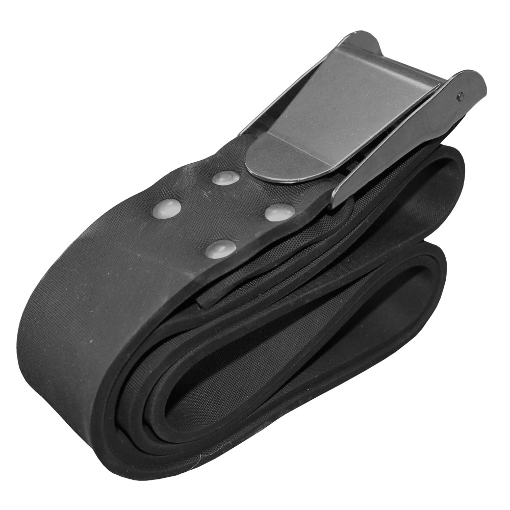
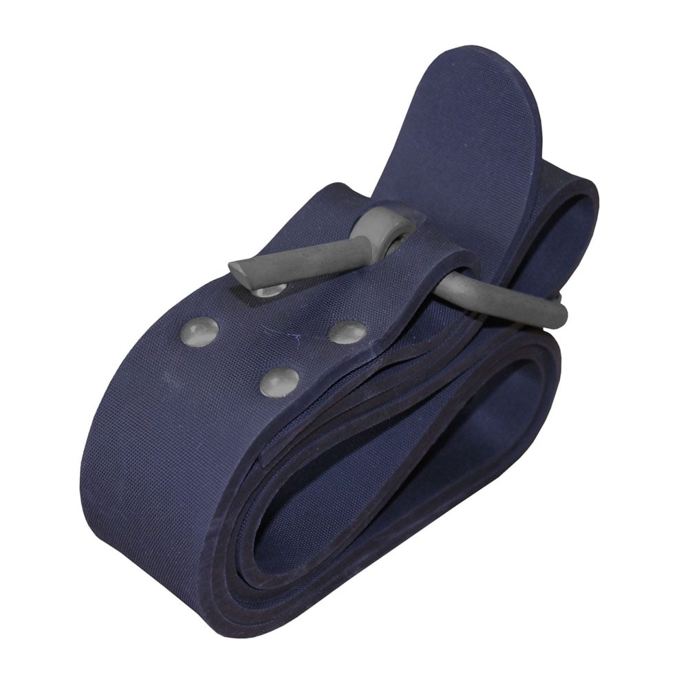
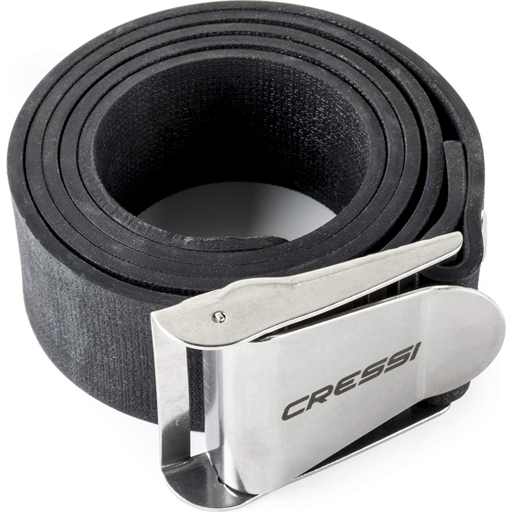
For freediving and spearfishing, plus scuba diving, the combination of webbing or rubber Weight Belts and Slotted Weights is typically used. Here's a video from Cressi about setting them up correctly.
See also How to Thread a Weight Belt Buckle and Perfect Scuba Diving Weighting.
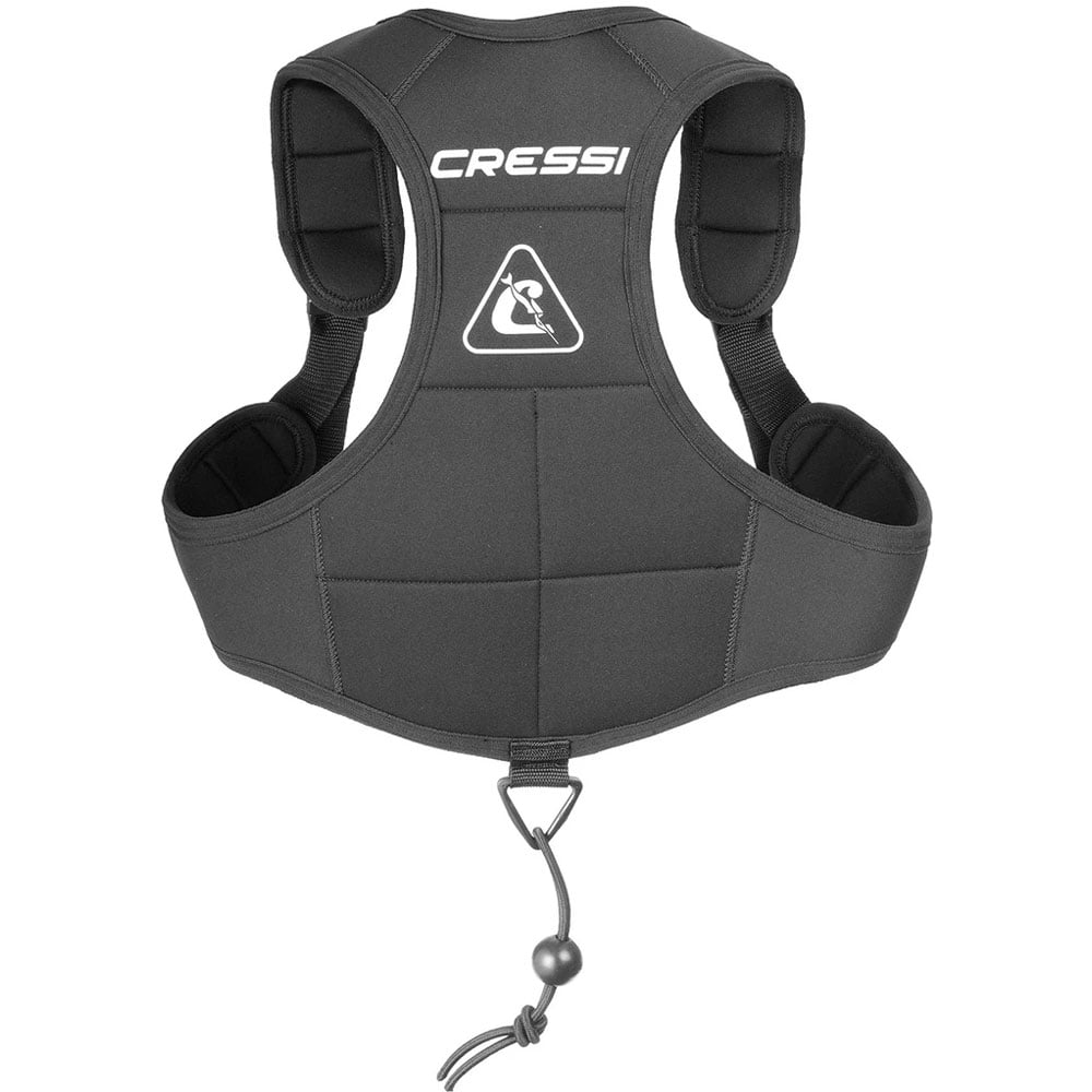
Many apnea divers also use a weight vest to transfer some of their diving weight onto their back for an improved transition and better weight distribution.
Get your buoyancy right with these Weightbelt, Weight Harness and Weight Vest options from The Scuba Doctor.
Milora
![]() Wreck Dive |
Wreck Dive | ![]() Boat access
Boat access
![]()
![]()
![]()
![]()
![]()
Steel Steamer Collier | Max Depth: 43 m (141 ft) — Graveyard
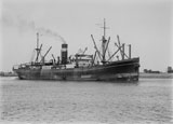
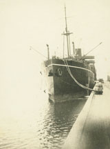
The Milora (aka SS Milora) is the largest wreck in the Victorian Ships' Graveyard. Launched in 1920 and originally called the Elita, in 1926 she was sold and renamed the Milora. The Milora shipwreck now lies facing north-south (bow south) at a depth of 43 metres. This dive is only for experienced deep/technical divers.
S.S Milora Wreck Dive, Ships Graveyard | © Giles Foster
Diving the Milora Shipwreck
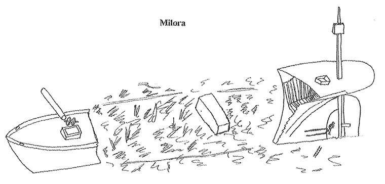
The Milora shipwreck site is approximately 10 to 12 metres high, in 43 metres of water, lying with the bow facing to the south. It's a spectacular dive with large sections of interspersed intact hull listing to the port side.
The bow is intact with a hatch combing on deck and a winch nearby on the starboard side. A large tube (possibly two) lies on the deck on the forward starboard side of the winch and protrude out from the upright hull. Aft of the bow is a scattered, flattened area of broken beams and hull plating. A large section of cabin structure or wheelhouse is still intact amidships.
Another area of confused broken structure aft precedes a large piece of intact stem. A flat iron plate of the former stern counter overhangs the remains of an intact rudder and stern gland/propeller shaft, and it is possible to swim through between the rudder and sternpost. The top of the rudder post/stock rises through the counter deck to 30 metres depth.
It is possible to swim inside the stern area, and find a large area of intact hull plating and girders along with two iron companionway ladders still in place.
There is no marine growth on the site due to the proximity of the site to the Barwon River, which effectively silts up the site and reduces visibility. The depth of the Milora shipwreck place it just on the boundaries of the recreational limits depth wise. It makes a great site for experienced deep divers and those moving into the "deco" and "technical" arenas to extend their experience.
Bass Strait Warning: Always keep an eye on sea conditions throughout any shore or boat dive in Bass Strait on Victoria's coastline. Please read the warnings on the web page diving-in-bass-strait before diving or snorkelling this site.
Milora Shipwreck History — Built in 1920
The Milora was a steel screw steamer, built in 1920, at Williamstown Dockyard, Victoria. The overall length of the Milora was approximately 331 ft (101 m), beam 47.9 ft (15 m) and draught 27.1 ft (8.26 m) giving a displacement weight of 3,347 t (3,689 s-ton).
It was originally called the Emita and was built for the Australian United Steam Navigation Co of Melbourne. The AUSN was an attempt by the Commonwealth Government to create its own line of steamers. In 1926 the Emita was sold and renamed the Milora.
On 21 September 1934, the Milora was inward bound from Newcastle, under the command of Captain E. Wrigley, with coal when struck by a storm and with its rudder post broken she ran ashore on Rondella Reef inside Port Phillip Heads near Queenscliff. In an attempt to refloat her, approximately 1,500 tons of coal was discharged over the side. Then the tugs Tooronga, Eagle and James Patterson refloated her and towed the Milora to Williamstown for inspection.
Milora Sinking — Scuttled 8 March 1935
The Milora was eventually sold for scrap and dismantled. She was towed out into Bass Strait by the tug James Paterson and scuttled on Friday 8 March 1935. She lays on the outskirts of the Victorian Ships' Graveyard as the scuttling crew had overshot the marks and sank her one kilometre outside the boundary.
The event was reported in The Argus, on 9 March 1935, on page 21 as follows:
END OF THE MILORA
Sunk Off TorquayIn deep rolling sea within three miles of Torquay the career of the former AUSN coastal steamer Milora ended yesterday when her sea cocks were opened and two heavy charges of gelignite were exploded in one of her forward holds.
On September 21 of last year the Milora laboring in a heavy sea with a fractured rudder stock, grounded on Victoria Shoal and gaping holes were torn in her plates. Two powerful tugs succeeded in towing her off the reef, but the damage was so extensive that the vessel was condemned and was sold to shipbreakers.
Long before daylight yesterday she was in tow by a tug for the last time. The tug James Paterson commanded by Captain Hartley Watson, took the ship out from Williamstown to what is known as the St. Kilda Bank, where about 100 fathoms of 14in. Manila towline were paid out. The Milora passed over the boisterous Rip and Port Phillip Heads at 8 a.m. and by 10 a.m. she had reached the "graveyard" of the Victorian coast where many other condemned craft have been sunk.
The three hands who manned the Milora until the last, and whose work it was to sink her, had removed the forward sea cocks to admit a steady gush of water and had laid the two charges of gelignite, each of about 25lb., by the time the crew of the Jamcs Paterson were stowing the towline that they had cast off.
Descending a Jacobs ladder the men paddled quickly away from the sinking ship and a few moments later there came two reports which sent heavy vibrations through the water and a shower of dust and debris into the air.
See also, Heritage Council Victoria: Milora, and
Australian National Shipwreck Database: Milora.
Heritage Warning: Any shipwreck or shipwreck relic that is 75 years or older is protected by legislation. Other items of maritime heritage 75 years or older are also protected by legislation. Activities such as digging for bottles, coins or other artefacts that involve the disturbance of archaeological sites may be in breach of the legislation, and penalties may apply. The legislation requires the mandatory reporting to Heritage Victoria as soon as practicable of any archaeological site that is identified. See Maritime heritage. Anyone with information about looting or stolen artefacts should call Heritage Victoria on (03) 7022 6390, or send an email to heritage.victoria@delwp.vic.gov.au.
Finding the Milora Shipwreck
Over the years we've been provided with different GPS marks for the Milora. The GPS marks we know of in circulation for the Milora are:
- Book - Victoria's Ships' Graveyard GPS (verified)
Latitude: 38° 21.102′ S (38.351705° S / 38° 21′ 6.14″ S)
Longitude: 144° 23.378′ E (144.389632° E / 144° 23′ 22.68″ E) - Geoff Rodda:
Latitude: 38° 21.128′ S (38.352133333333° S / 38° 21′ 7.68″ S)
Longitude: 144° 23.384′ E (144.38973333333° E / 144° 23′ 23.04″ E)
48 m, bearing 169°, S
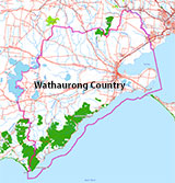
Traditional Owners — This dive site is in the traditional Country of the Wathaurong (Wadda-Warrung) people of the Kulin Nation. This truly ancient Country includes the coastline of Port Phillip, from the Werribee River in the north-east, the Bellarine Peninsula, and down to Cape Otway in the south-west. We wish to acknowledge the Wathaurong as Traditional Owners. We pay respect to their Ancestors and their Elders, past, present and emerging. We acknowledge Bunjil the Creator Spirit of this beautiful land, who travels as an eagle, and Waarn, who protects the waterways and travels as a crow, and thank them for continuing to watch over this Country today and beyond.
Milora Location Map
Latitude: 38° 21.102′ S (38.351705° S / 38° 21′ 6.14″ S)
Longitude: 144° 23.378′ E (144.389632° E / 144° 23′ 22.68″ E)
Datum: WGS84 |
Google Map
Added: 2012-07-22 09:00:00 GMT, Last updated: 2022-05-11 13:50:30 GMT
Source: Book - Victoria's Ships' Graveyard GPS (verified)
Nearest Neighbour: Dunloe, 1,293 m, bearing 111°, ESE
Steel Steamer Collier, 3347 ton.
Built: Williamstown, Victoria, 1920.
Scuttled: 8 March 1935.
Victorian Ships' Graveyard, Bass Strait.
Depth: 38 to 43 m.
[ Top ]
DISCLAIMER: No claim is made by The Scuba Doctor as to the accuracy of the dive site coordinates listed here. Should anyone decide to use these GPS marks to locate and dive on a site, they do so entirely at their own risk. Always verify against other sources.
The marks come from numerous sources including commercial operators, independent dive clubs, reference works, and active divers. Some are known to be accurate, while others may not be. Some GPS marks may even have come from maps using the AGD66 datum, and thus may need be converted to the WGS84 datum. To distinguish between the possible accuracy of the dive site marks, we've tried to give each mark a source of GPS, Google Earth, or unknown.




![Halcyon Infinity 30lb System [SS Small Backplate] Halcyon Infinity 30lb System [SS Small Backplate]](/diveshop/images/halcyon/Halcyon-Evolve-Wing.jpg)


