Navigation
Top 10 Best Drysuits
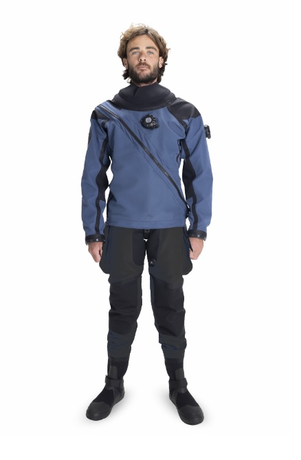
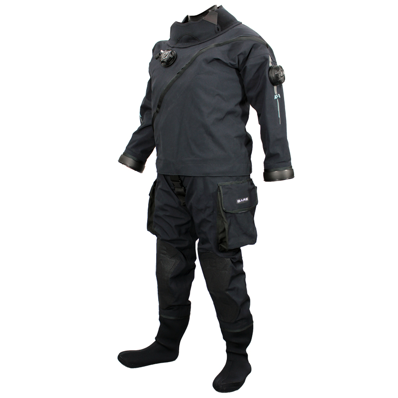
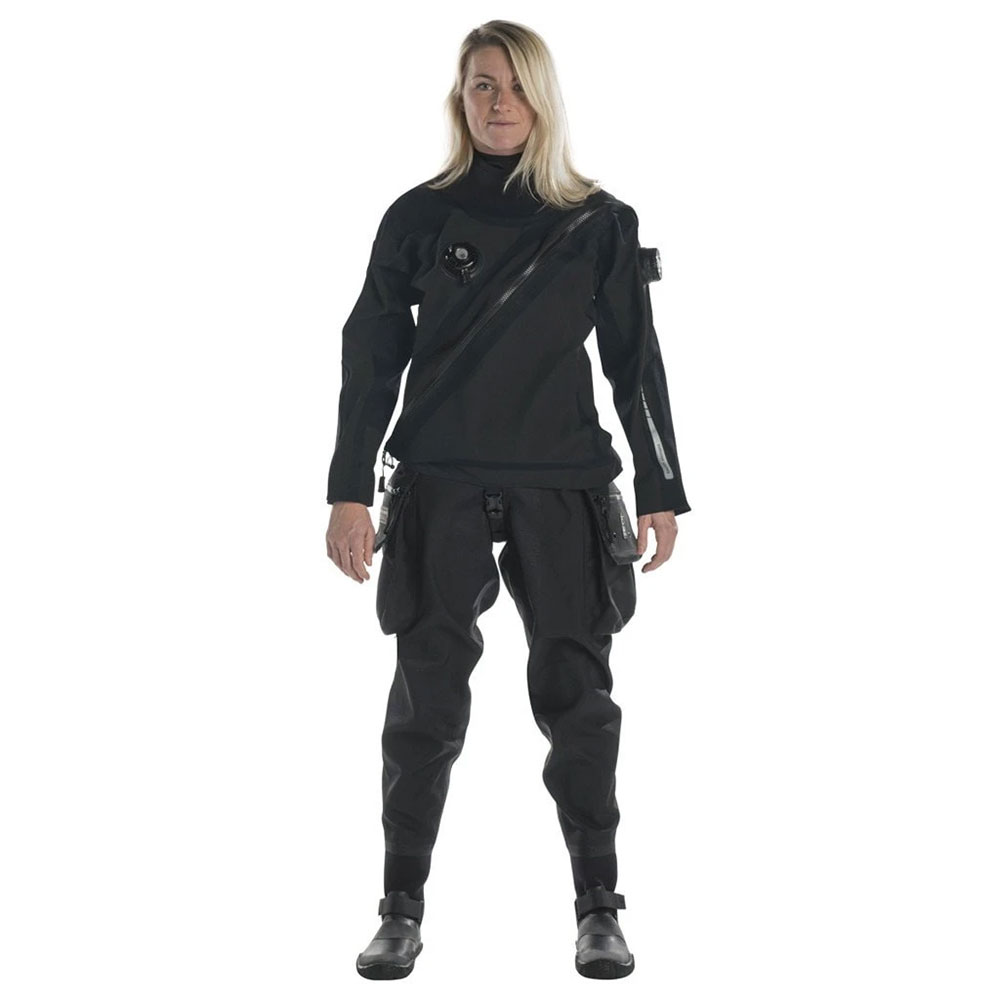
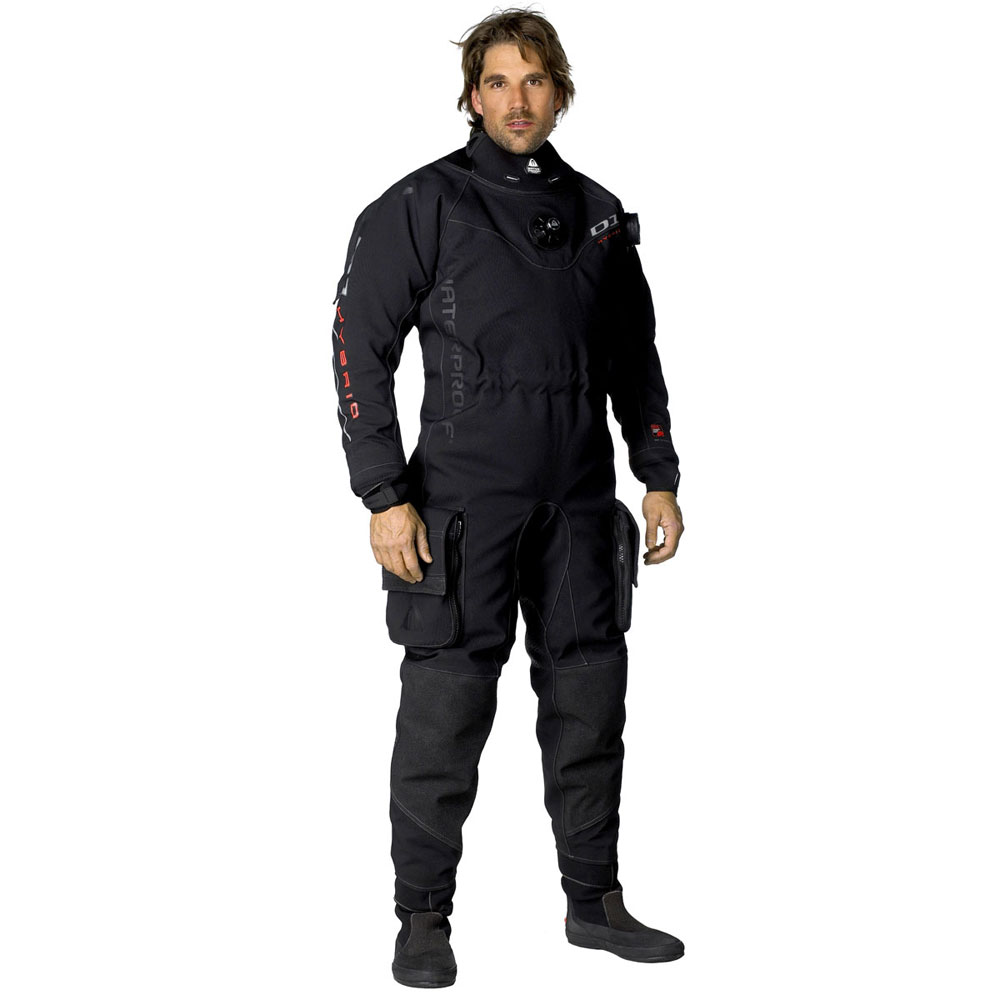
Our selection of the Top 10 Best scuba diving neoprene and membrane drysuits will keep you warm and comfortable. Just put on the right drysuit undergarments for the conditions and feeling cold will be a thing of the past!
South Channel Fort
![]() Reef Dive |
Reef Dive | ![]() Boat access
Boat access
![]()
![]()
![]()
![]()
![]()
Depth: 1 m (3.28 ft) to 12 m (39 ft)
Amazing Marine Life and a Fascinating History
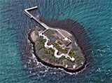
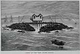
South Channel Fort, also known as South Channel Island, is Victoria's only artificial island. It's a 0.7 ha artificial island in southern Port Phillip, Victoria, Australia, 6 km (3.73 mi) north-east of the town of Sorrento. It was part of a network of fortifications protecting the narrow entrance to Port Phillip and used to fire guns, illuminate the channel at night and electronically explode mines under attacking ships coming through the Heads.
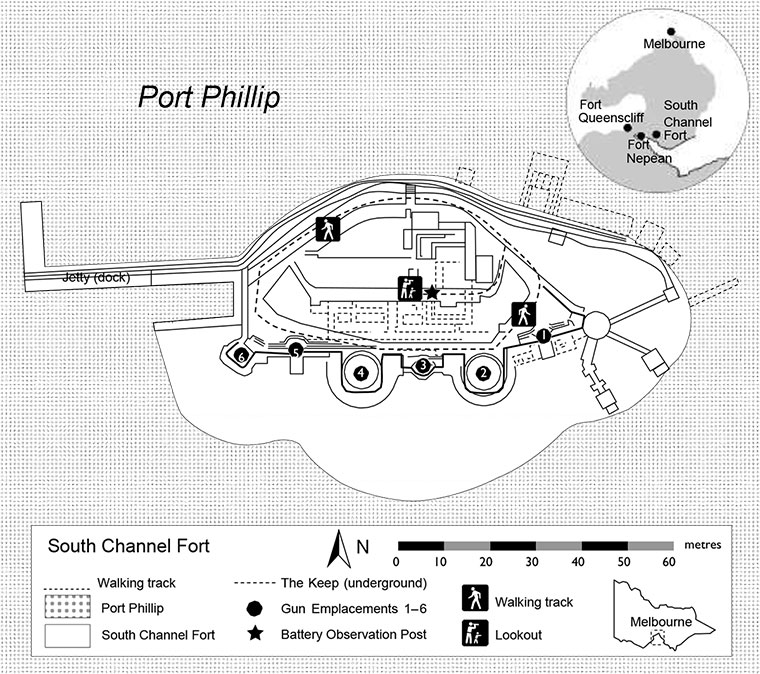
South Channel Fort is 122 m (400 ft) long, 76 m (249 ft) wide, and is 6.4 m (21 ft) above sea-level. It was built on a shoal, close to the main shipping channel of Port Phillip, with 14,000 tonnes of bluestone boulders, concrete and sand. It was constructed during the 1880s as part of a defensive strategy to protect and control access by sea to Port Phillip and the cities of Melbourne and Geelong. Above water, the island contains disappearing gun emplacements, a labyrinth of underground passages and magnificent panoramic views over Port Phillip.
South Channel Fort - Above Ground, Underground & Underwater | © MDTV3
Diving South Channel Fort
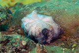
The South Channel Fort can only be reached by boat and is a great dive as there is always a side sheltered from the currents that race through Port Phillip. The island is situated in an otherwise barren sand flat and has attracted a vast amount of marine life to the area, including Australian Fur Seals, Smooth Stingrays, Giant Australian Cuttlefish, Decorator Crabs, Bluespotted Goatfish, Southern Keeled Octopus, Maori Octopus, Southern Blue Devil, plus much more. The rocky slopes of the Fort go down to around 12 metres and provide a suitable habitat for a range of marine organisms including kelp forests and many invertebrates that attach to the rocks. Colourful sponges and soft corals grow amongst the rocks and jetty structures.
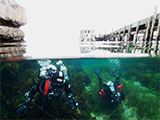
The waters are littered with large granite boulders, forming caves and hideaways, caverns, tunnels and the like which make it a photographers dream come true. On the western side of the fort is a small landing jetty, where the water drops down to about 12 metres to a sandy uninteresting bottom. The best diving is certainly in amongst the seagrass or rocky reef between this maximum depth and the Western shoreline of the Fort.
If time permits between tides, the Fort can be circumnavigated underwater at about 5 metres. On the Eastern edge are several large pylons which have collapsed. These were something to do with the second world war and the protective nets that were drawn across the Port Phillip main channel.
The small torpedo bay supports areas of seagrass and many fish can be seen here as well as under the pier. There is also plenty to see on and around the pylons of the jetty. Best to dive the jetty and western side on the ebb tide.
South Channel Fort is important environmentally, being of conservation importance as a breeding site of the white-faced storm-petrel, Little Penguins and black-faced cormorants.
South Channel Fort Construction
Work began on building South Channel Fort in 1878 with the laying of about 14,000 tonnes of bluestone rocks. The man-made island upon which the fort is built is one of only two islands in Port Phillip and is the only man-made island.
Built originally as a fort to guard the southern channel from a perceived threat of the Russian invasion during the Goldrush of the 1880s. As such it was a part of a bigger strategic defence initiative that included Fort Nepean and Fort Queenscliff in a triangle of defence.
South Channel Fort Operation
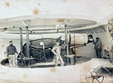
South Channel Fort was the most advanced fortification in the world when it was completed. Garrisoned by over 100 soldiers for nearly fifty years the fort boasted 8-inch disappearing guns. These guns sat in a bunker and could be raised to fire and then lowered back into the safety of the bunker. The guns were also the first to be rifled giving them unparalleled range. The entire fort was intentionally buried in the sand to absorb any enemy shells that were to fall onto her.
The fort also controlled an electric minefield in the channel itself. With the aid of two massive searchlights, ships could be detected moving through the channel and mines could be remotely detonated from the fort.
The Fort was used during the 1950s–1980s for the storage of explosives for blasting the rocks in The Rip.
South Channel Fort was added to the Mornington Peninsula National Park in 1995, but is now included in the Point Nepean National Park. It is listed on the Register of the National Estate in recognition of the role the island plays as a breeding site for the White-Faced Storm Petrel, and other visiting species including Little Penguins, Black-faced Cormorants and Australian Fur Seals. It has military and historical significance and is classified by the National Trust. Visitors can access the underground keep of South Channel Fort through a Licenced Tour Operator only.
See also, Victorian Heritage: South Channel Fort,
Wikipedia: South Channel Fort, and
Park Note: South Channel Fort.
Traditional Owners — This dive site does not lie in the acknowledged traditional Country of any first peoples of Australia.
South Channel Fort Location Map
Latitude: 38° 18.407′ S (38.306783° S / 38° 18′ 24.42″ S)
Longitude: 144° 48.022′ E (144.800367° E / 144° 48′ 1.32″ E)
Datum: WGS84 |
Google Map
Added: 2012-07-22 09:00:00 GMT, Last updated: 2022-01-02 19:29:15 GMT
Source: GPS
Nearest Neighbour: Adieu, 3,974 m, bearing 130°, SE
Depth: 1 to 12 m.
Dive only on: SWF, SWE, Ebb, Flood.
[ Top ]
DISCLAIMER: No claim is made by The Scuba Doctor as to the accuracy of the dive site coordinates listed here. Should anyone decide to use these GPS marks to locate and dive on a site, they do so entirely at their own risk. Always verify against other sources.
The marks come from numerous sources including commercial operators, independent dive clubs, reference works, and active divers. Some are known to be accurate, while others may not be. Some GPS marks may even have come from maps using the AGD66 datum, and thus may need be converted to the WGS84 datum. To distinguish between the possible accuracy of the dive site marks, we've tried to give each mark a source of GPS, Google Earth, or unknown.




![Halcyon Infinity 30lb System [SS Small Backplate] Halcyon Infinity 30lb System [SS Small Backplate]](/diveshop/images/halcyon/Halcyon-Evolve-Wing.jpg)


