Navigation
Spearfishing Rubber
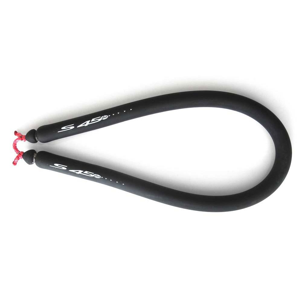
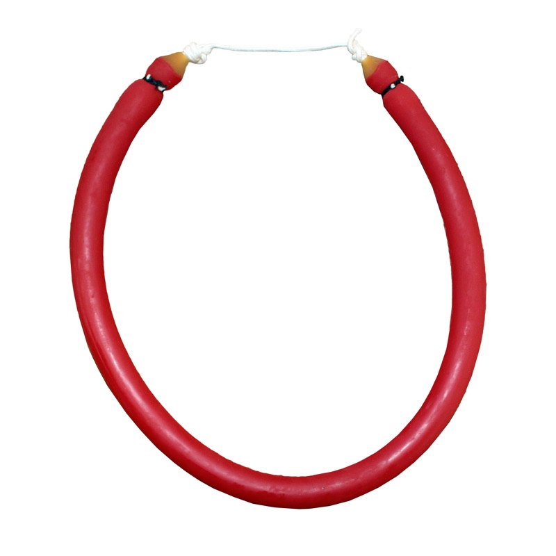
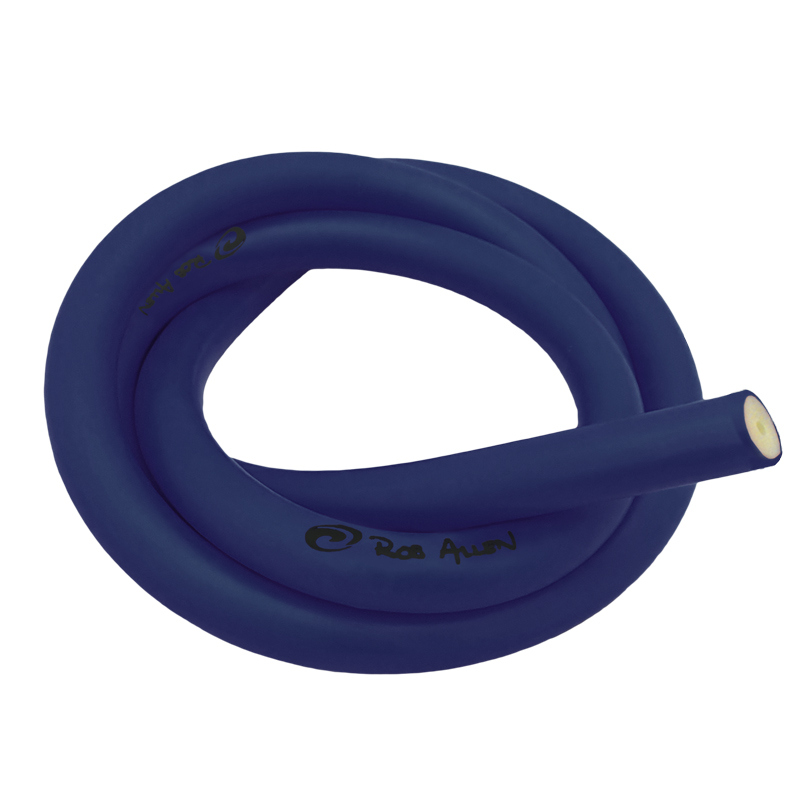
Spearguns, other than pneumatic spearguns, are powered with speargun rubber (also known as power bands). The rubber is pulled back and hooked into the notch of a spear by the bridle on the rubber.
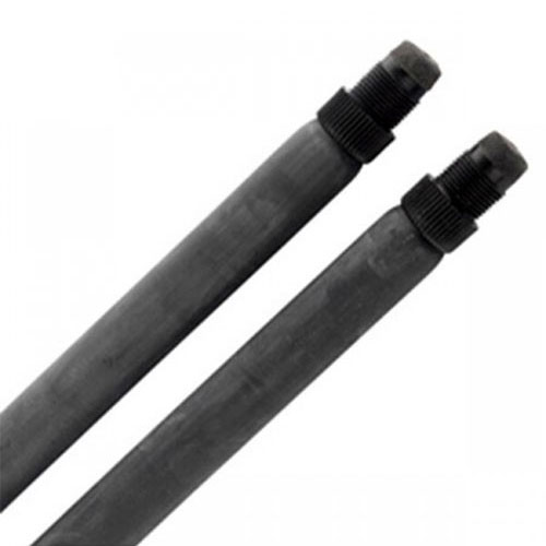
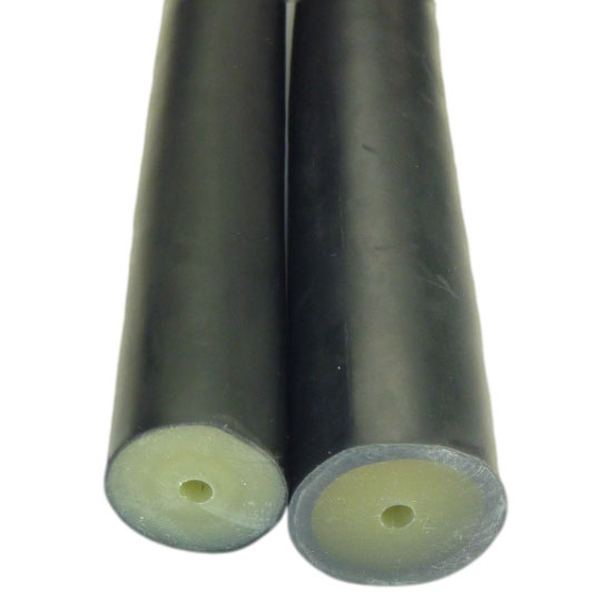
Speargun rubber comes in different thicknesses (e.g. with an outside diameter of 13 mm, 16 mm, 18 mm, 20 mm etc.) and lengths (to suit the target "gun length" being the distance between the inside of the gun muzzle to the front of the trigger). We have top quality bulk rubber, which is normally cut to size, and you make up the speargun rubber. We also have pre-made circular and euro rubbers for some spearguns. For hand spears we carry pre-made rubbers as they tend to be all the same length.
You can buy lengths of speargun rubbers that you can then use to cut and fit your own power bands. This is suitable for experienced spearfishermen who have time to spend measuring and cutting their rubbers. However if you are a beginner you will be much better off buying pre-cut rubbers designed specifically for your speargun. This ensures you have the right length rubbers for your gun and that they are made from the most effective materials.
The thicker your speargun rubber is the harder it will be to load and the more power it will give. Alternatively, you could have two thinner rubbers that are easy to load but still provide maximum power. Twin 16 mm rubbers are ideal for most kinds of spearfishing unless you are hunting marlin or large tuna which may require several power bands.
As with any rubber product you need to store speargun power bands away from direct sunlight and extremes of heat. Store in a dry, dark place and spray with silicone lube before putting them away to keep them supple.
Port Fairy Lighthouse
![]() Reef Dive |
Reef Dive | ![]() Boat access
Boat access
![]()
![]()
![]()
![]()
Depth: 5 m (16 ft) to 30 m (98 ft)
Level: Open Water and beyond.
Offshore from the Port Fairy Lighthouse and Griffith Island is an extensive network of boulder reefs and ridges in Port Fairy Bay on Victoria's Shipwreck Coast. The sandy bottom of Port Fairy Bay has an extensive network of these rocky reefs.
Diving and Snorkelling at Port Fairy Lighthouse
There are some intrepid souls who scuba dive from shore here. However, it's a bit too far to lug a scuba cylinder for a shore dive unless you are particularly fit, or bring a trolley to take advantage of the high quality walking tracks.
However a shore entry for snorkelling is fine. On the north side of Griffiths Island is South Mole Beach, formed since the construction of the harbour moles or entrance walls at the mouth of the Moyne River. The beach lies between the low dune calcarenite that forms the island and the wall. It can be reached on foot from the car park via a footbridge to the island. The beach is 200 metres long and faces north-east. It is protected by the island and waves average about 0.5 m at the beach. This results in a low, continuous bar and usually no rips.
On the south-east side of Griffiths Island is the small, protruding Griffiths Island Beach lying in the lee of a reef. Most waves break over the reef and the beach is often fronted by a calm lagoon, particularly at low tide.
The boat dives on the reefs at Port Fairy Lighthouse are considered some of the best in the region. Depths drop quickly from 5 metres close to shore to 15 metres about 80 to 100 metres offshore. The areas around 500 meters offshore, at a depth of around 20 metres seem to be the most interesting as the diversity of marine life is very high. Further out the depth drops to around 30 metres.
The reefs feature ledges, gutters and bommies, and are covered in marine life. There is plenty of excellent habitat for the critters.
Location: Port Fairy, Victoria 3284
Ideal Conditions: Best dived in good conditions with a low swell with light westerly to northerly winds. See WillyWeather (Griffith Island) as a guide for the tide times and the height of the tide.
Boat Launching: Most of the dive sites here are best accessed via a boat dive. Diving from a boat can be had on the low shallow reef around the island in good weather. Access is by boat from the Port Fairy, Griffiths Street Boat Ramp.
{{southern-ocean-warning}} {{sally-watson}}Port Fairy Lighthouse History
The Port Fairy Lighthouse (aka Griffiths Island Lighthouse) was built in 1859 by Scottish stonemasons out of bluestone on what was then Rabbit Island. This later became part of Griffiths Island, located on the edge of the Port Fairy township and home to thousands of Shearwater birds. Griffiths Island was attached to the mainland with the construction of the Moyne River harbour moles and a second breakwater, to prevent water from flowing around the back of the island and into the harbour. A footbridge now provides access from the car park to the island.
Traditional Owners — This dive site is in the traditional Country of the Eastern Maar people of south-western Victoria between the Shaw and Eumerella Rivers and from Yambuk in the south to beyond Lake Linlithgow in the north. This truly ancient Country extends as far north as Ararat and encompasses the coastal townships of Port Fairy in the west, Warrnambool, Peterborough, Port Campbell, Apollo Bay, Lorne, and Airies Inlet in the east, including the Great Ocean Road area. It also stretches 100 metres out to sea from low tide and therefore includes the iconic Twelve Apostles. "Eastern Maar" is a name adopted by the people who identify as Maar, Eastern Gunditjmara, Tjap Wurrung, Peek Whurrong, Kirrae Whurrung, Kuurn Kopan Noot and/or Yarro waetch (Tooram Tribe) amongst others. We wish to acknowledge the Eastern Maar as Traditional Owners. We pay respect to their Ancestors and their Elders, past, present and emerging.
Port Fairy Lighthouse Location Map
Latitude: 38° 23.373′ S (38.389552° S / 38° 23′ 22.39″ S)
Longitude: 142° 15.330′ E (142.255493° E / 142° 15′ 19.77″ E)
Datum: WGS84 |
Google Map
Added: 2021-06-21 20:01:18 GMT, Last updated: 2022-05-24 12:24:11 GMT
Source: Google Earth
Nearest Neighbour: The Patches, 358 m, bearing 335°, NNW
Shipwreck Coast.
Depth: 5 to 30 m.
[ Top ]
DISCLAIMER: No claim is made by The Scuba Doctor as to the accuracy of the dive site coordinates listed here. Should anyone decide to use these GPS marks to locate and dive on a site, they do so entirely at their own risk. Always verify against other sources.
The marks come from numerous sources including commercial operators, independent dive clubs, reference works, and active divers. Some are known to be accurate, while others may not be. Some GPS marks may even have come from maps using the AGD66 datum, and thus may need be converted to the WGS84 datum. To distinguish between the possible accuracy of the dive site marks, we've tried to give each mark a source of GPS, Google Earth, or unknown.




![Halcyon Infinity 30lb System [SS Small Backplate] Halcyon Infinity 30lb System [SS Small Backplate]](/diveshop/images/halcyon/Halcyon-Evolve-Wing.jpg)


