Navigation
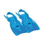
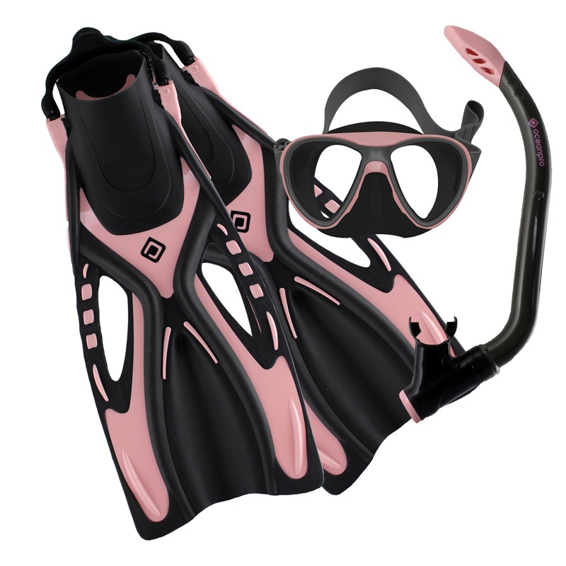
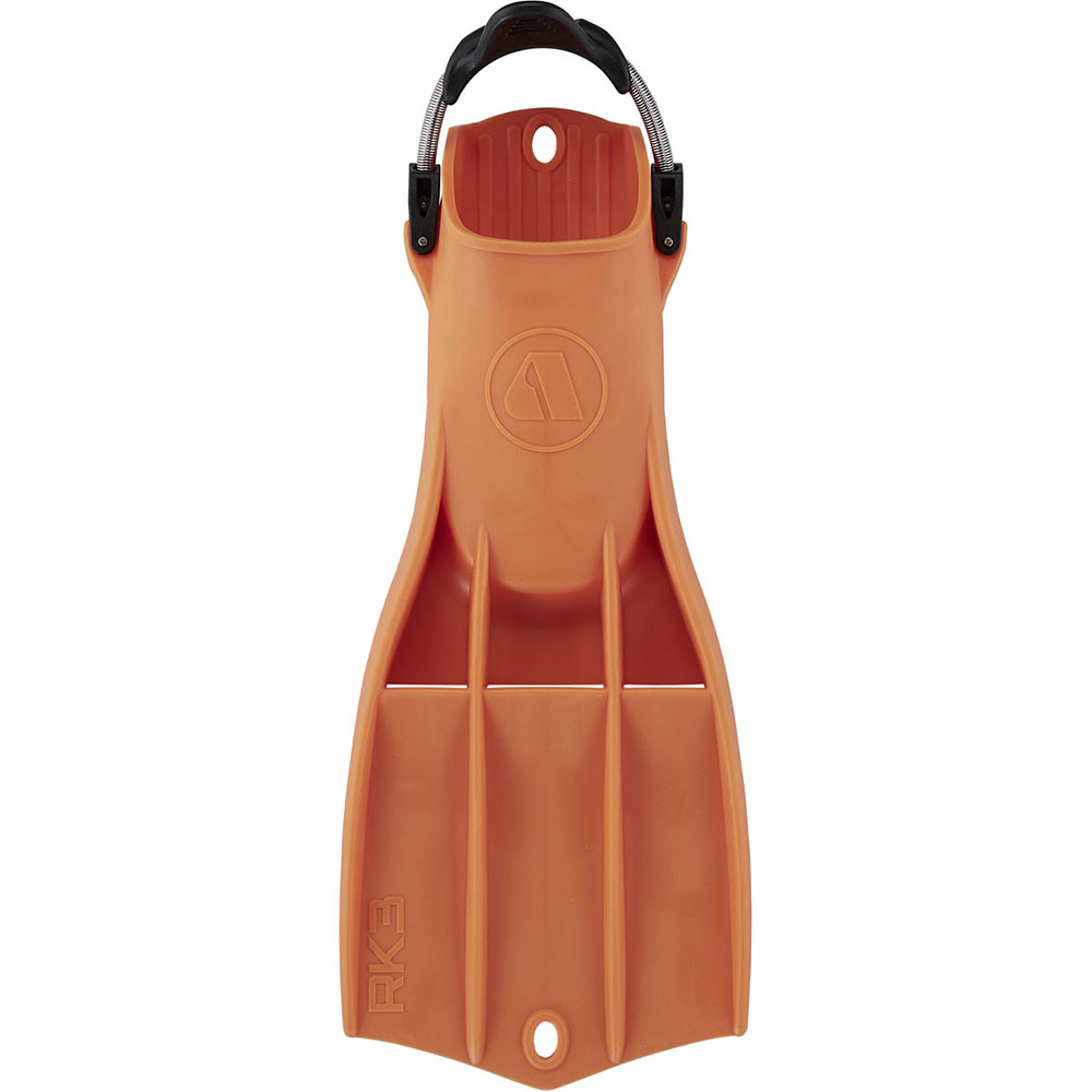
Kids are snorkellers and swimmers too! Your child or junior deserves the same considerations with their snorkelling and swimming equipment as mum and dad. These fins are designed specifically for kids with budget conscious parents. They are not your toy store and big box store fins. They are manufactured with the same quality as their adult versions.
Point Addis
![]() Reef Dive |
Reef Dive | ![]() Shore access
Shore access
![]()
![]()
![]()
![]()
Depth: 8 m (26 ft) to 10 m (33 ft)
Level: Open Water and beyond.
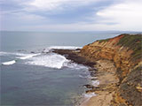
Point Addis is an interesting area of reefs and rock platforms for experienced divers and snorkellers off the Great Ocean Road (B100) between Bells Beach (to the east) and Anglesea (to the west) on Victoria's Surf Coast. Point Addis lies in the Point Addis Marine National Park facing south into Bass Strait. The Point Addis shore site offers difficult access with long walks and surface swims. The fit and persistent are rewarded with excellent marine life on limestone reef.
Diving and Snorkelling at Point Addis
On the southern side of Point Addis, at the base of 20 metre high cliffs, is a narrow, 80 metre long, sand beach, which is awash at high tide and fronted by rocks and reef flats at low tide. There are submerged limestone reefs here with gutters running through them. It's not easy to get to this entry/exit point unless you have the abilities of a mountain goat! The better option for a southern entry/exit point is to take the Surf Coast Walk heading west from the car park, which will take you down onto a beach further west of the point. Head east from where you come down onto this beach, back towards the point, along a large rock platform with plenty of entry points to select from.
On the northern side of Point Addis there is a track leading down to the easier entry/exit point that starts opposite the toilet block on Point Addis Road. You can enter the water where the tack comes onto the beach just west of 'Pixie Cave', or walk further south on the beach to save on the surface swim.
Whichever side you enter from, the dive is about exploring the underwater terrain and marine life as you head towards the tip of Point Addis. On a perfect day, with no wind, no swell, and no current, if you're up for a challenge you might consider a round trip of the point from your entry point on one side and exit on the other side! In the right conditions is can be done and it's really worthwhile.
Location: Point Addis Road, Bells Beach, Victoria 3228
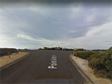
Parking: From Bells Beach to the east, or Anglesea to the west, take the Great Ocean Road (B100), turn onto Point Addis Road and follow it south. Near Point Addis there is roadside parking, and at the end of the road there is a large car park. Before gearing up check out the water. If you see lots of white water, head on home.
Warning: Weather conditions at Point Addis vary considerably with very strong winds and squalls frequently occurring. This is a highly hazardous area with deep water, rocks and reefs, with a strong rip feeder current running out past the headland. Always go with a buddy and be extremely careful. Experienced divers and snorkellers only.
Entry/Exit: See the descriptions above about the southern and northern options.
Ideal Conditions: Point Addis is a very exposed shore dive site, so it should only be dived when the seas are flat and calm with very little swell. Conditions are usually best with no wind, or after a few days of northerlies, as surface conditions remain calm.
See WillyWeather (Point Addis) as a guide for the tide times and the height of the tide.
Bass Strait Warning: Always keep an eye on sea conditions throughout any shore or boat dive in Bass Strait on Victoria's coastline. Please read the warnings on the web page diving-in-bass-strait before diving or snorkelling this site.
Point Addis Marine National Park
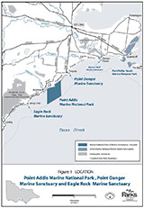
Point Addis Marine National Park (4600 ha) is about 25 km south-west of Geelong. It extends offshore from high water mark along 10 km of coastline east of Anglesea, around Point Addis to the eastern end of, and including, Bells Beach, and offshore approximately three nautical miles to the limit of Victorian waters. The park includes all waters within these boundaries and extends 200 metres beneath the sea bed.
Point Addis Marine National Park features spectacular scenery with wide sandy beaches, crumbling limestone and sandstone cliffs and rocky platforms. Fascinating marine life unique to our coastline can be found in the 4,600 hectares protected by the park. The world renowned surfing reserve, Bells Beach, is just one feature along the 9 kilometres of rugged coastline between Torquay and Anglesea exposed to intense wave action from the Southern Ocean on Victoria's Surf Coast.
Diving and Snorkelling in Point Addis Marine National
In calm weather conditions, with slight offshore northerly winds, there are many excellent places to explore and discover the unique local marine life. Near shore, divers and snorkelers can enjoy Jarosite Reef, accessed via Southside or Addiscot Beaches. Generally, conditions are best at low tide.
There is an extensive series of offshore reefs in Point Addis Marine National Park, suitable for diving under ideal conditions. The shallower ones (8–10 metres) include Ingoldsby Reef and The Olives. Divers often visit the wreck of the Inverlochy at Ingoldsby reef. Then there are the very interesting deeper offshore reefs (15–35 metres) as well. If you have access to a dive boat you can use the sounder to find many interesting parts of the reef system and dive them.
Ingoldsby Reef, Point Addis Marine National Park Victoria from Allie Beckhurst on Vimeo.
Diving and snorkelling sites inside the Point Addis Marine National Park include two heritage listed shipwrecks. The Inverlochy was a steel sailing basque which ran aground on Ingoldsby Reef in 1902 and is visible from the surface on calm days. Years earlier, in 1881 a wooden cutter, The Naiad, was beached at Point Addis but there are no known relics remaining in the park.
Victoria's Unique Coastline
The southern coastline of Australia has been isolated for millions of years from other continents due to ocean currents. This has resulted in our marine life evolving in many different ways. Ninety percent (90%) of all marine life here is found nowhere else. Home to over 12,000 species of plants and animals, it is considered one of the most biodiverse and unique marine ecosystems in the world. For this reason, this significant marine environment is protected for the future. The Point Addis Marine National Park is part of the great-southern-reef.
How to Get to Point Addis Marine National Park
Point Addis Marine National Park is approximately 100 kilotmetres south of Melbourne via the M1 freeway and Great Ocean Road (B100). From the west, approach via Anglesea. The closest boat ramps are located at Point Roadknight and Torquay.
See also Parks Victoria: Point Addis Marine National Park,
Park Note: Point Addis Marine National Park,
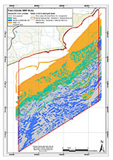
Point Addis Marine National Park Map,
Point Addis Marine National Park, Point Danger Marine Sanctuary, Eagle Rock Marine Sanctuary - Management Plan, and
Point Addis in "Shore Dives of Victoria" by Ian Lewis, 3rd edition pages 36–37.
Point Addis is named after Lieutenant Edward Brown Addis, an early Crown Lands Commissioner (Blake 1977).
You are not permitted to carry a spear gun while snorkelling or scuba diving in Point Addis Marine National Park.
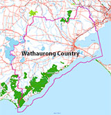
Traditional Owners — This dive site is in the traditional Country of the Wathaurong (Wadda-Warrung) people of the Kulin Nation. This truly ancient Country includes the coastline of Port Phillip, from the Werribee River in the north-east, the Bellarine Peninsula, and down to Cape Otway in the south-west. We wish to acknowledge the Wathaurong as Traditional Owners. We pay respect to their Ancestors and their Elders, past, present and emerging. We acknowledge Bunjil the Creator Spirit of this beautiful land, who travels as an eagle, and Waarn, who protects the waterways and travels as a crow, and thank them for continuing to watch over this Country today and beyond.
Point Addis Location Map
Latitude: 38° 23.803′ S (38.396717° S / 38° 23′ 48.18″ S)
Longitude: 144° 15.054′ E (144.250906° E / 144° 15′ 3.26″ E)
Datum: WGS84 |
Google Map
| Get directions
Added: 2022-04-08 15:57:46 GMT, Last updated: 2022-04-08 22:16:58 GMT
Source: Google Earth
Nearest Neighbour: Bells Beach, 4,017 m, bearing 42°, NE
Point Addis Marine National Park.
Bells Beach, Surf Coast.
Depth: 1 to 10 m.
[ Top ]
DISCLAIMER: No claim is made by The Scuba Doctor as to the accuracy of the dive site coordinates listed here. Should anyone decide to use these GPS marks to locate and dive on a site, they do so entirely at their own risk. Always verify against other sources.
The marks come from numerous sources including commercial operators, independent dive clubs, reference works, and active divers. Some are known to be accurate, while others may not be. Some GPS marks may even have come from maps using the AGD66 datum, and thus may need be converted to the WGS84 datum. To distinguish between the possible accuracy of the dive site marks, we've tried to give each mark a source of GPS, Google Earth, or unknown.
Copyright © 2005-2022 by The Scuba Doctor Australia, ABN 88 116 755 170. All rights reserved.
tel. +61 3 5985 1700 :: email. diveshop@scubadoctor.com.au :: Web site by it'sTechnical 2022




![Halcyon Infinity 30lb System [SS Small Backplate] Halcyon Infinity 30lb System [SS Small Backplate]](/diveshop/images/halcyon/Halcyon-Evolve-Wing.jpg)


