Navigation
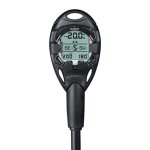
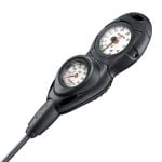
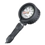
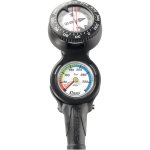
Quality top brand scuba diving consoles to suit every scuba diver's requirements from The Scuba Doctor dive shop.
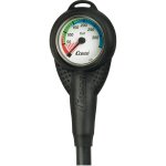
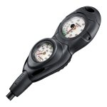
A scuba diving console is an essential piece of equipment. Most allow you to monitor your air supply underwater. The modular nature of some diving instrument consoles means that it is possible to add on an analogue depth gauge, a compass, and even a dive computer, in addition to the submersible pressure gauge (SPG).
San Remo Jetty
![]() Pier Dive |
Pier Dive | ![]() Shore access
Shore access
![]()
![]()
![]()
![]()
Depth: 3 m (9.84 ft) to 8 m (26 ft)
Level: Advanced Open Water and beyond
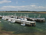
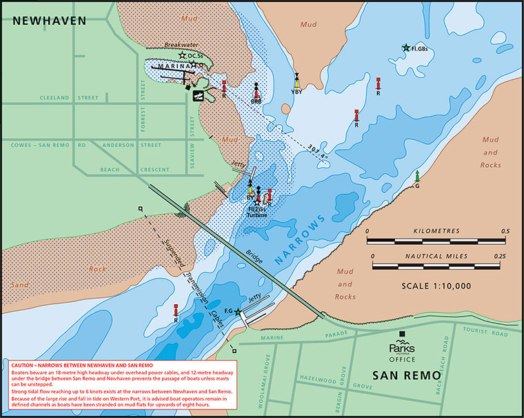
San Remo Jetty is located on Marine Parade, San Remo, on the left-hand side before crossing the bridge to Phillip Island. It acts as a port for commercial fishing vessels and a deep channel runs across the front of the pier. As it's a working pier it's important divers stay out of the way of all commercial activities. Do the right thing and use a dive flag and stay clear of boat traffic areas.
Currents are a huge factor when trying to dive at San Remo Jetty. Extremely strong tidal currents swirl through the jetty pylons sometimes as much as 5 to 6 knots. Best dived on slack water, preferably at the end of an incoming flood tide. The big problem is slack water doesn't last very long at this dive site.
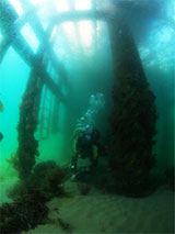
To successfully dive San Remo Jetty you need to take your time and carefully observe the current flow. Be ready to enter the water from the beach just as the current drops to nothing. Stay under the pier pylons throughout the dive and be ready to grab hold of a pylon once the current starts running again.
We suggest making your way out to the outer pier edge and be ready to move to the inner arm as soon as the current starts up. It's likely you'll only get a 15 to 20 minute dive.
How to Dive San Remo Jetty
by David John Haintz
I use WillyWeather (Newhaven) as a guide for the tide times and the height of the tide. As a general guide the higher the tide height the faster the moving water. I always arrive 2 hours prior to the high or low tide. Then I will check the flow of water on all of the pylons to gauge the speed.
I will generally have my gear ready on the pier an hour prior to tide height. At this stage, one of us will jump in the water with fins to see how strong the current is. From experience, you can enter to dive up to an hour prior to tide height. When testing the current you are wanting to be able to fin against the current without too much effort. This is when we would drop down from the south end of the pier with the incoming flood tide.
Once underwater you need to monitor when you get slack water, and ideally, be at the north end of the pier. The tide can change very quickly and fast within minutes. It's at that point we head into shore to the inner pier where the current is not noticeable. While diving under the inner pier, when you start to see and feel the current move, this a good time to head into shore.
I hope this isn't too confusing to follow. By following the above steps I've had dive times from 45 to 84 minutes. Hope to see you down there.
Safe Diving, David Haintz.
See also, San Remo Pier in "Shore Dives of Victoria" by Ian Lewis, 3rd edition page 138–139.
Traditional Owners — This dive site is in the traditional Country of the Boon Wurrung / Bunurong people of the Kulin Nation. This truly ancient Country includes parts of Port Phillip, from the Werribee River in the north-west, down to Wilson's Promontory in the south-east, including the Mornington Peninsula, French Island and Phillip Island, plus Western Port. We wish to acknowledge the Boon Wurrung as Traditional Owners. We pay respect to their Ancestors and their Elders, past, present and emerging. We acknowledge Bunjil the Creator Spirit of this beautiful land, who travels as an eagle, and Waarn, who protects the waterways and travels as a crow, and thank them for continuing to watch over this Country today and beyond.
San Remo Jetty Location Map
Latitude: 38° 31.234′ S (38.520561° S / 38° 31′ 14.02″ S)
Longitude: 145° 21.887′ E (145.364778° E / 145° 21′ 53.2″ E)
Datum: WGS84 |
Google Map
| Get directions
Added: 2019-05-05 09:30:24 GMT, Last updated: 2022-03-22 16:16:38 GMT
Source: Google Earth
Nearest Neighbour: San Remo Bridge, 220 m, bearing 352°, N
San Remo, Phillip Island.
Depth: 3 to 8 m.
[ Top ]
DISCLAIMER: No claim is made by The Scuba Doctor as to the accuracy of the dive site coordinates listed here. Should anyone decide to use these GPS marks to locate and dive on a site, they do so entirely at their own risk. Always verify against other sources.
The marks come from numerous sources including commercial operators, independent dive clubs, reference works, and active divers. Some are known to be accurate, while others may not be. Some GPS marks may even have come from maps using the AGD66 datum, and thus may need be converted to the WGS84 datum. To distinguish between the possible accuracy of the dive site marks, we've tried to give each mark a source of GPS, Google Earth, or unknown.
Copyright © 2005-2022 by The Scuba Doctor Australia, ABN 88 116 755 170. All rights reserved.
tel. +61 3 5985 1700 :: email. diveshop@scubadoctor.com.au :: Web site by it'sTechnical 2022








![Halcyon Infinity 30lb System [SS Small Backplate] Halcyon Infinity 30lb System [SS Small Backplate]](/diveshop/images/halcyon/Halcyon-Evolve-Wing.jpg)


